ProjectsGuaitapp app
Guaitapp rural alerts mobile app
Collaborative rural and environmental alerts
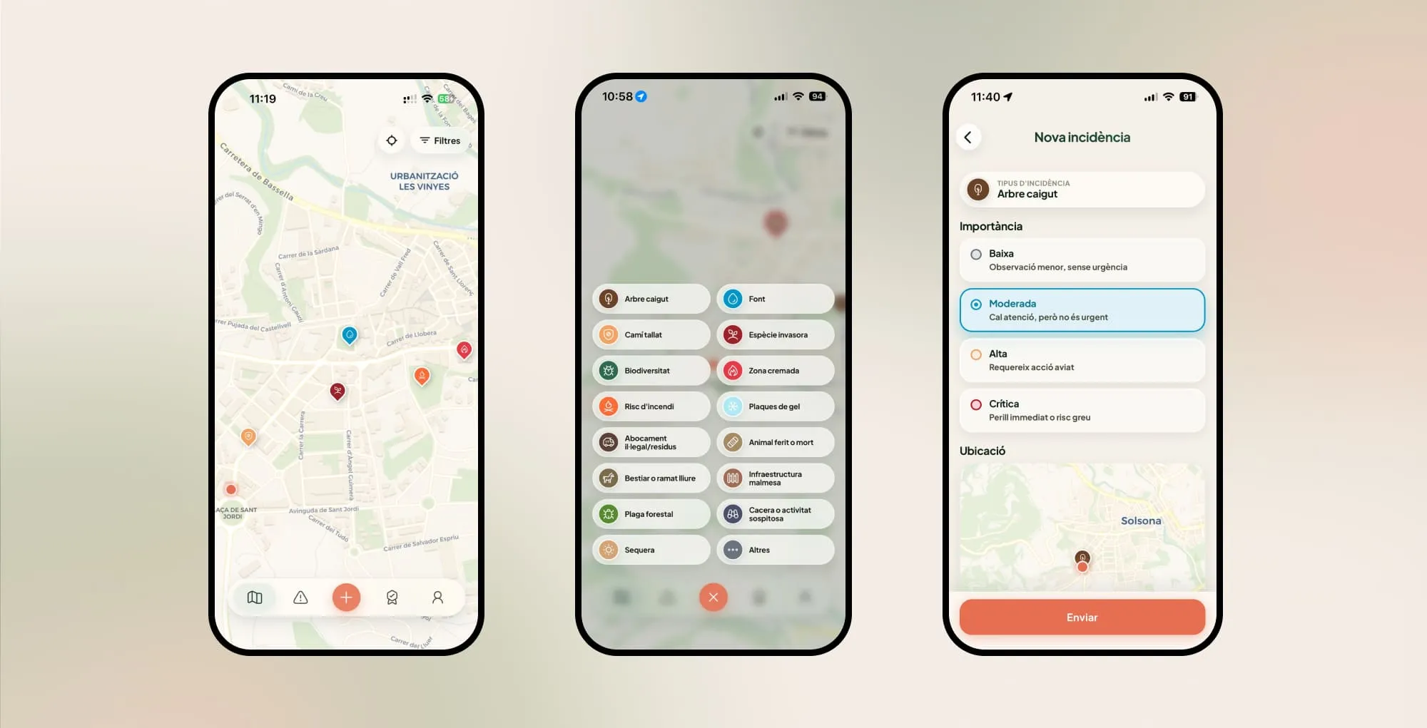
Guaitapp is a rural and environmental alert app. People log geolocated incidents, such as fallen trees, blocked paths or fire risk, and others can validate them. Local authorities follow up from a panel.
Community validation and active participation
Users can validate alerts that others have logged on the ground. A system of points and medals encourages that validation and improves the reliability of the data.
Real-time monitoring of natural and environmental risks
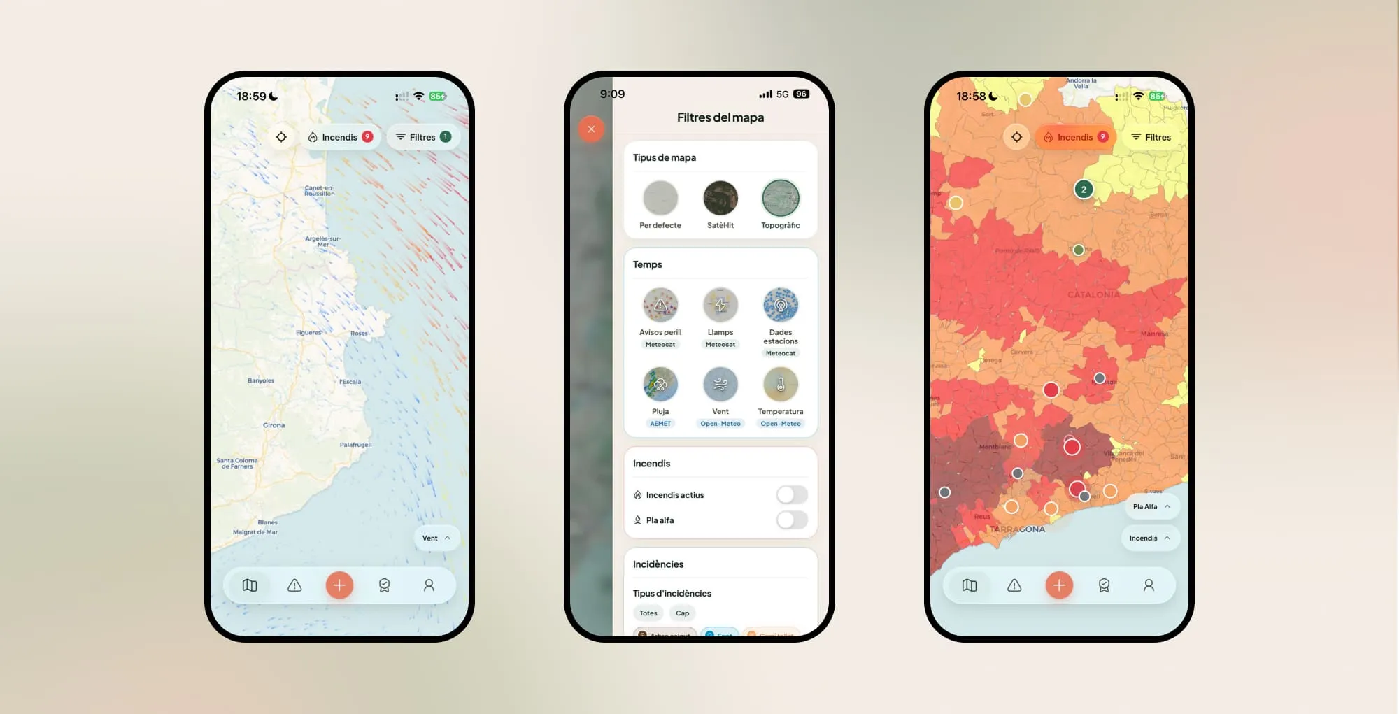
In addition to citizen-reported incidents, there are real-time filters and layers: active wildfires from official sources, strong wind, lightning or adverse weather.
Integrated administration panel for local authorities
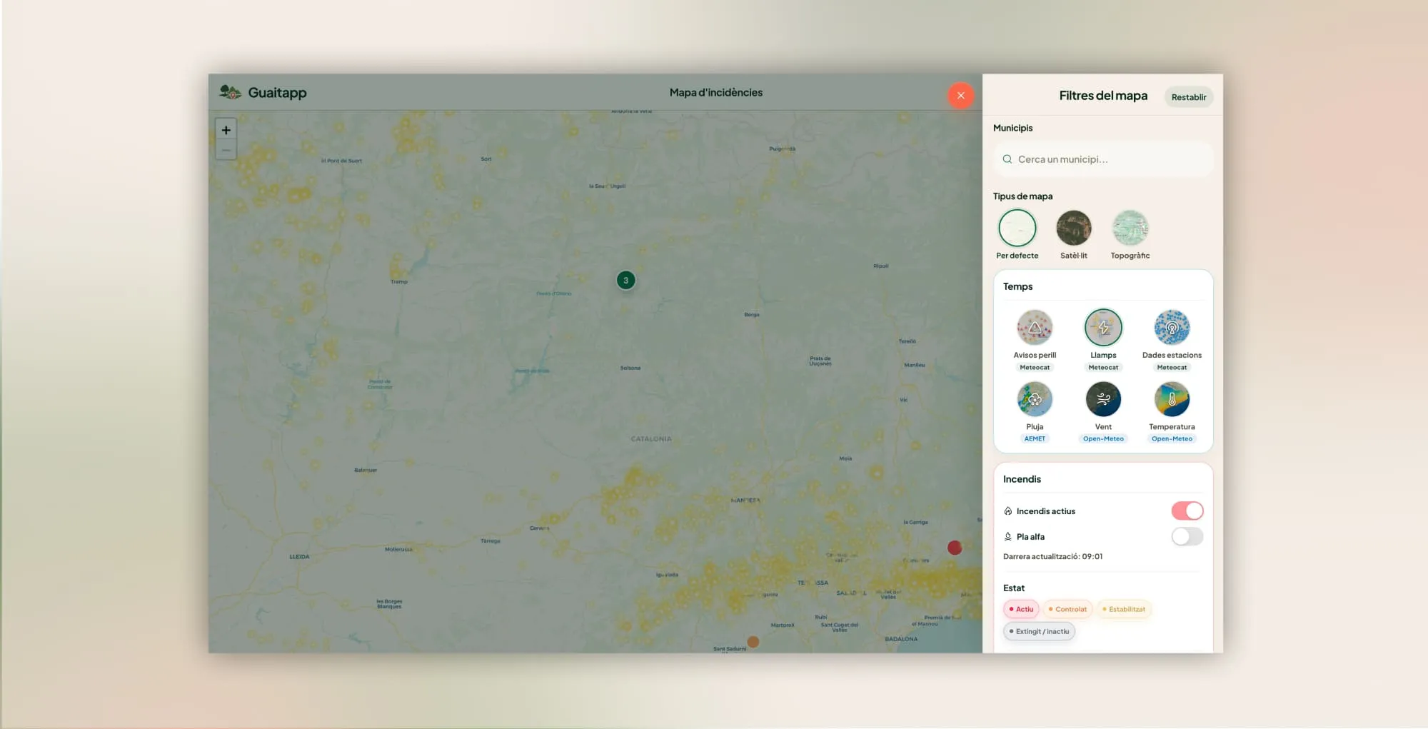
Town councils and local organisations have a panel to view alerts on an interactive map and follow pending or resolved incidents.
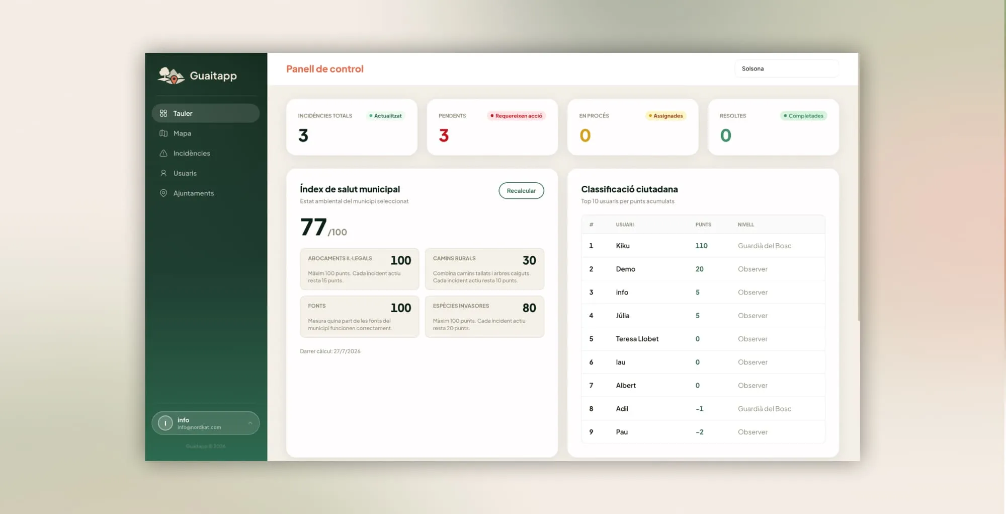
Municipal health index
The municipal health index summarises the state of incidents in the municipality. The town council can see what is still pending and decide what to act on first.